Hiking to the summit of Hodosan Mountain to visit the Hodosan Shrine’s rear shrine
Hello, I am Chankoba and I will be teaching you about the sightseeing in Saitama.
I will be introducing the hiking trail that goes up to Hodosan Shrine, one of the three shrines in Chichibu.
The shrine trails include the “Manpuku-ji Temple trail”, and the “Kami Mawari trail”.
This time I tried walking the long “Kami Mawari trail”.
The whole trail is 8.8km and takes about 3 hours and 30 minutes.
The trail has many flat areas which make it easy for beginners to hike.
The Hodosan Shrine gives blessings for traffic safety, better fortune, and business prosperity.
Take the Takasaki Line from Tokyo Station to Kumagaya Station, which will take about 70 minutes.
If you take the Hokuriku Shinkansen or the Joetsu Shinkansen, it will take only 40 minutes.
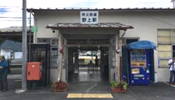
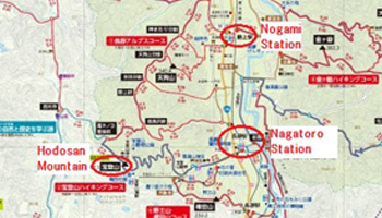
At Kumagaya Station, change to the Chichibu Railway and ride another 45 minutes to Nogami Station.
The mountain hiking starts at the station.
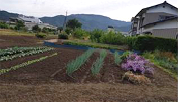
Before getting to the mountain, you will pass through residential areas and fields.
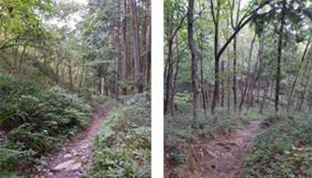
When you get to the mountain, continue along the gently-sloping path.
You will be able to feel the nature of Chichibu while walking along the avenue of cedars.
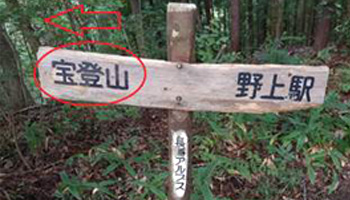
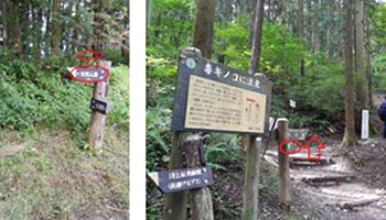
At some point you will come across three crossroads.
The lower left picture shows the「宝登山」(Hodosan Mountain) trail,the middle picture shows the「宝登山山頂」(Hodosan Mountain Summit) trail,and the lower right picture shows the regular pathway.
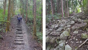
The path leading to the summit of Hodosan Mountain is the most difficult of all the trails.
You will need to walk up about 200 stairs to reach the summit.
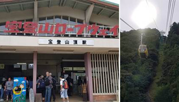
After hiking for about 2 hours, I arrived at the Hodosan Mountain summit.
From the summit you will be able to see the Chichibu basin and the Chichibu mountainous district.
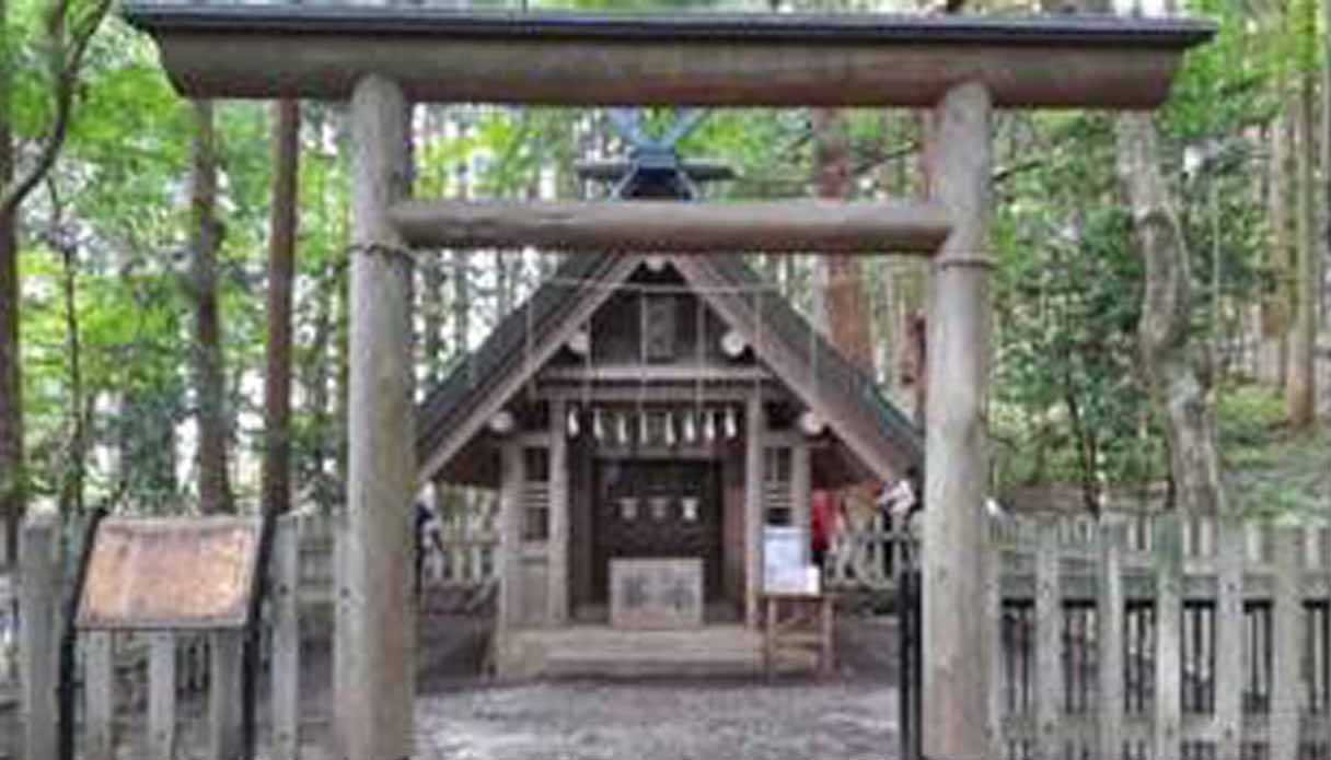
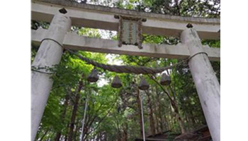
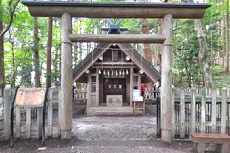
At the summit is the rear shrine of the Hodosan Shrine.
At the peaceful rear shrine you will be able to feel the sacred atmosphere.
After visiting the shrine, I headed back down the mountain.
You will be able to enjoy the plum garden at the summit, where flowers change from season to season.
There are two ways of going down the mountain: you can walk back down or you can ride the cable car.
This time I rode the cable car.
It took about 10 minutes to reach the bottom of the mountain.
From here it is about a 5 minute walk to the main shrine of the Hodosan Shrine.
It is about a 15 minute walk from the Hodosan Shrine to Nagatoro Station.
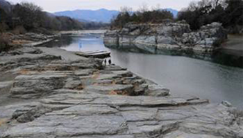
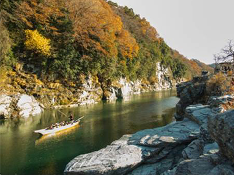
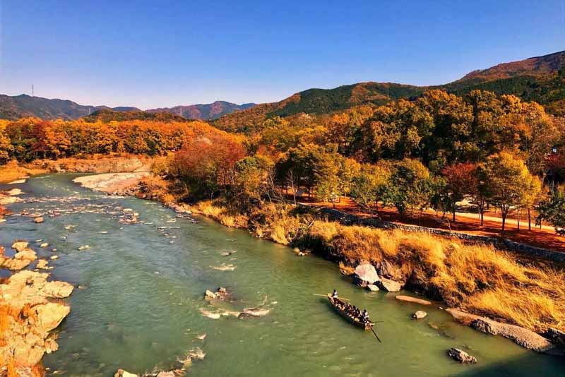
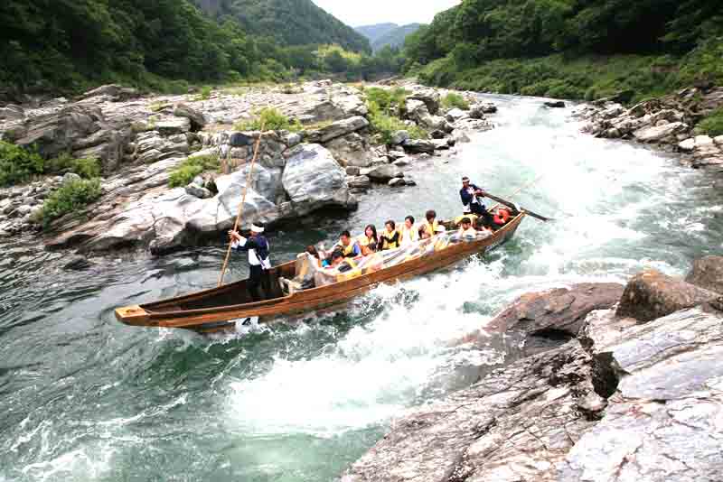
Nagatoro also has various tourist spots such as the picturesque Iwadatami and Line Kudari, where you can ride boats down the river.
You can come here to enjoy a nice day trip from Tokyo, but since there are historical ryokan (Japanese-style inn) in Nagatoro,
please relax and stay the night.
◆Nagatoro Hiking Map
◆Nagatoro Alps Website (Japanese only)
Official site Nagatoro Alps Website (Japanese only)
◆Hodosan Shrine
AdmissionFee Free Admission
Address 1828 Nagatoro, Nagatoro-machi, Chichibu-gun, Saitama-ken
Access
Car
Nerima I.C. to Hanazono I.C., Kanetsu Expressway (for Chichibu)
→ National Route 140 (about 20min.)
→ Turn right at “Nagatoro Ekimae Junction
Parking Lot Available(Free)
Official site http://www.hodosan-jinja.or.jp/english/
Other site You can find other hiking trails in Chichibu here. (Japaneseonly)

